INDUSTRIAL TECHNOLOGY
Technology for operations in the physical world
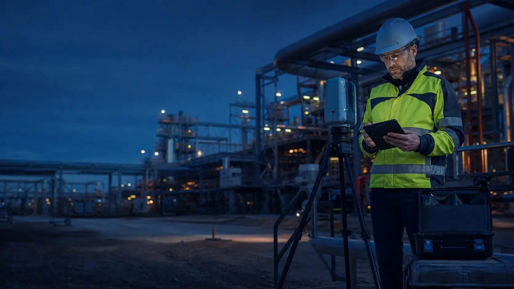
TS2 Space brings together reality capture, infrastructure inspection, robotics, diagnostics, field energy and applied AI to help organisations understand assets, reduce exposure and make better operational decisions.
FROM FIELD DATA TO ACTION
A practical portfolio for complex sites and infrastructure
The right solution depends on the asset, operating environment, required deliverable and the decision the data must support. We help define the complete workflow rather than treating surveying instruments, wearables, additive-manufacturing systems or inspection hardware as isolated purchases.
Surveying & Geospatial Systems
GNSS, total stations, 3D scanning, mobile mapping and monitoring workflows matched to the survey, destination and authorised support route.
Mapping & Digital Twins
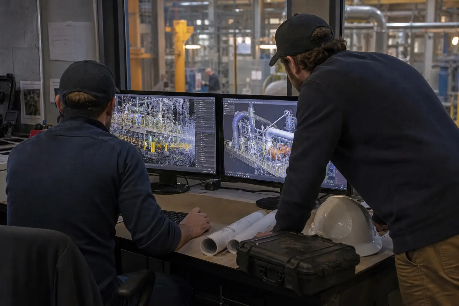
Mobile, terrestrial and aerial reality capture for as-built documentation, scan-to-BIM, terrain mapping, industrial retrofit and accessible digital records.
Inspection & Diagnostics
Remote inspection, subsurface detection, thermal and acoustic diagnostics for utilities, energy, transport, construction and difficult-to-access assets.
Robotics & Autonomous Systems
Ground, aerial and underwater platforms considered around the payload, environment, operator workflow, data path and applicable operating rules.
Industrial Diagnostics
Thermal, acoustic and radio-frequency tools for condition assessment, leak detection, electrical inspection and predictive maintenance programmes.
Energy & Field Infrastructure
Mobile energy storage, resilient power, communications and supporting systems for construction, temporary operations and critical infrastructure.
Industrial Smart Glasses
Connected-worker systems for remote expert support, guided work, inspections, training and controlled access to field information.
Professional 3D Printing
Industrial polymer additive-manufacturing workflows evaluated around the part, material, production volume, quality and complete cost per part.
Applied AI & Data
Geospatial analysis, network analytics, edge processing and workflow automation designed around accountable, human-led decisions.
FIRST CAPABILITY
Reality capture for decisions grounded in current site data
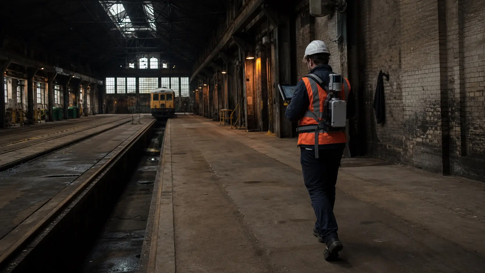
Existing buildings, industrial plants and infrastructure rarely match old drawings perfectly. Mobile mapping can document complex spaces efficiently and provide a current spatial record for design, coordination and maintenance.
Our first dedicated industrial technology capability covers 3D scanning and digital-twin workflows using current handheld, mobile and wearable platforms.
- As-built surveys and scan-to-BIM preparation
- Industrial retrofit and equipment-layout planning
- Progress documentation and condition records
- Point-cloud, CAD, BIM and web-based collaboration workflows
SOLUTION-LED DELIVERY
Selected around the task, not the product name
A technically impressive device is useful only when capture, processing, integration, training and support fit the customer’s real operating environment.
Define
Clarify the assets, sites, decisions, deliverables, accuracy expectations and operating constraints.
Select
Match sensors, platforms, software and accessories to the actual environment and workflow.
Integrate
Plan data exchange, connectivity, power, user access, field procedures and existing business systems.
Support
Provide a practical route for deployment, onboarding, changes, troubleshooting and future expansion.
EUROPE & UKRAINE
Tools for inspection, recovery and modernisation
Transport, energy, housing, commerce, industry and agriculture represent major areas of recovery and investment in Ukraine. Current spatial data, safer inspection and resilient field systems can support project preparation and accountable delivery.
Availability, end use, destination, training and any operational or export requirements are reviewed for each project before a configuration is confirmed.
START A PROJECT
Tell us what needs to be measured, inspected or improved
Share the asset type, location, required deliverable and expected timeline. TS2 Space will help identify the appropriate technology path and prepare a project-specific response.
Service availability, performance and permitted use depend on location, network capacity, local regulation, selected equipment and service plan. Specifications and commercial terms are confirmed individually.


