

SURVEYING & GEOSPATIAL SYSTEMS
Reliable spatial data for decisions in the field
TS2 Space helps organisations define complete surveying and reality-capture workflows—combining positioning, optical measurement, 3D scanning, mobile mapping, software, connectivity and project support.
FROM CONTROL POINT TO DELIVERABLE
Technology selected around the survey, not a brand name
Accuracy is only one part of a successful project. Site access, satellite visibility, capture speed, required outputs, software compatibility, local support and the destination country all influence the right configuration.
GNSS & RTK Surveying
Rovers, bases, network corrections and field controllers for cadastral work, construction, utilities, asset capture and infrastructure projects.
Total Stations & Layout
Robotic and conventional optical systems for control networks, setting-out, dimensional verification and coordinated construction workflows.
Terrestrial 3D Scanning
High-density reality capture for as-built records, industrial retrofit, heritage documentation, scan-to-BIM and complex geometry.
Mobile & Handheld Mapping
Wearable, handheld and vehicle-based systems for corridors, buildings, plants and large sites where capture speed and access matter.
Aerial LiDAR & Photogrammetry
Airborne capture workflows for terrain, transport, energy, construction, forestry and large-area infrastructure documentation.
Monitoring & Deformation
Repeatable observations, automated measurement and alerting concepts for structures, slopes, excavation, rail and critical assets.
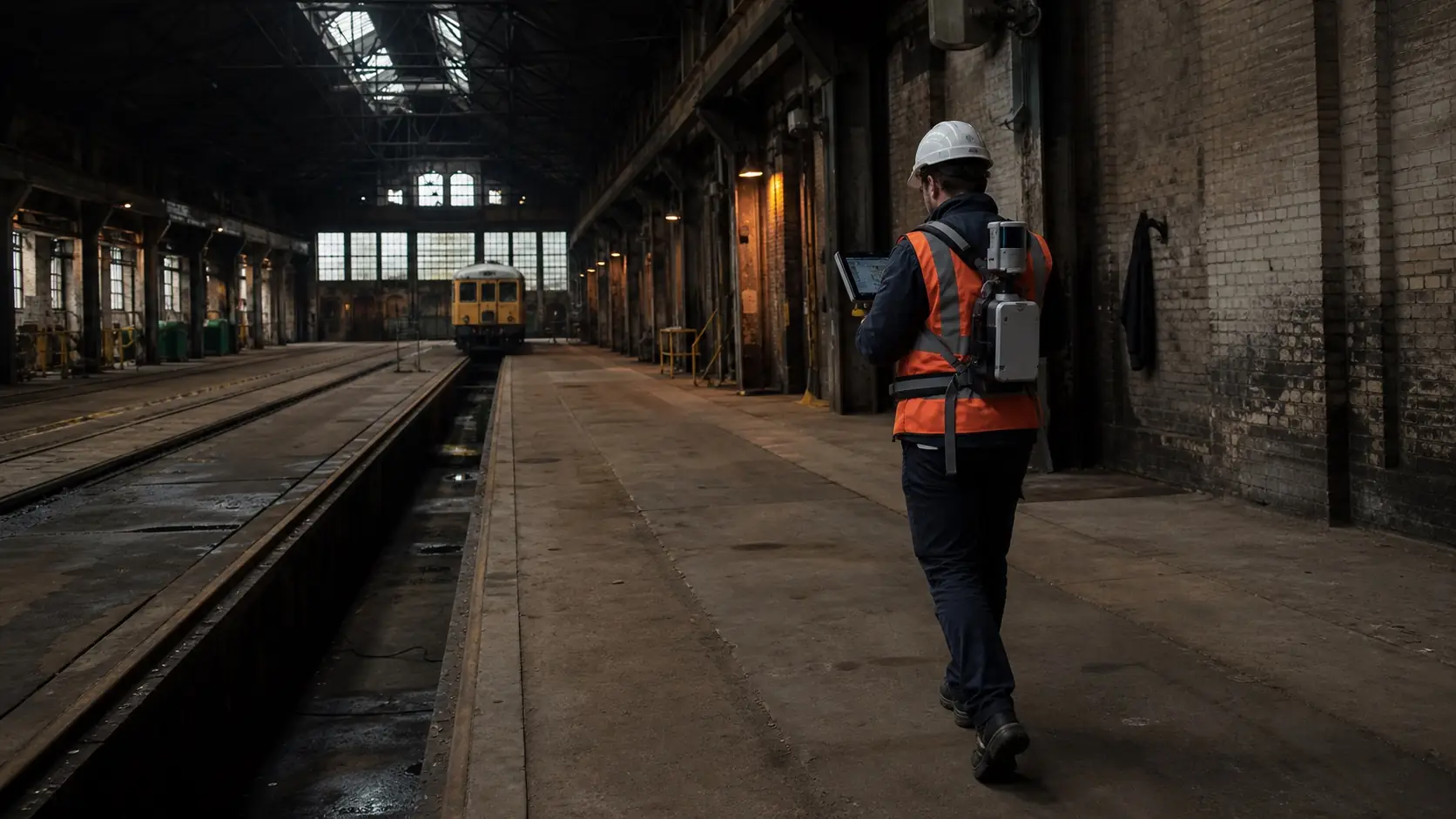
CONNECTED FIELD WORK
A complete path from capture to usable information
A survey system should fit the full lifecycle of the data. We consider field procedures, coordinate systems, correction services, processing, quality checks, handover formats and collaboration—not only the instrument specification.
- Field controllers, rugged computing and data synchronisation
- RTK, radio, cellular and satellite connectivity planning
- Point-cloud registration, CAD, GIS and BIM integration
- Repeatable quality control and project documentation
- Training, commissioning and support matched to the deployment country
APPLICATIONS
One spatial foundation for many operational teams
The same reliable site record can support planning, construction, inspection, maintenance, documentation and long-term asset management.
Infrastructure
Rail, roads, bridges, utilities, airports and public works—from baseline survey to condition records.
Construction
Control, layout, progress capture, quantities, verification and coordinated as-built documentation.
Industry
Plants, warehouses and production facilities where accurate geometry supports retrofit and maintenance.
Land & Environment
Topographic survey, terrain models, forestry, water, mining and repeatable environmental observations.
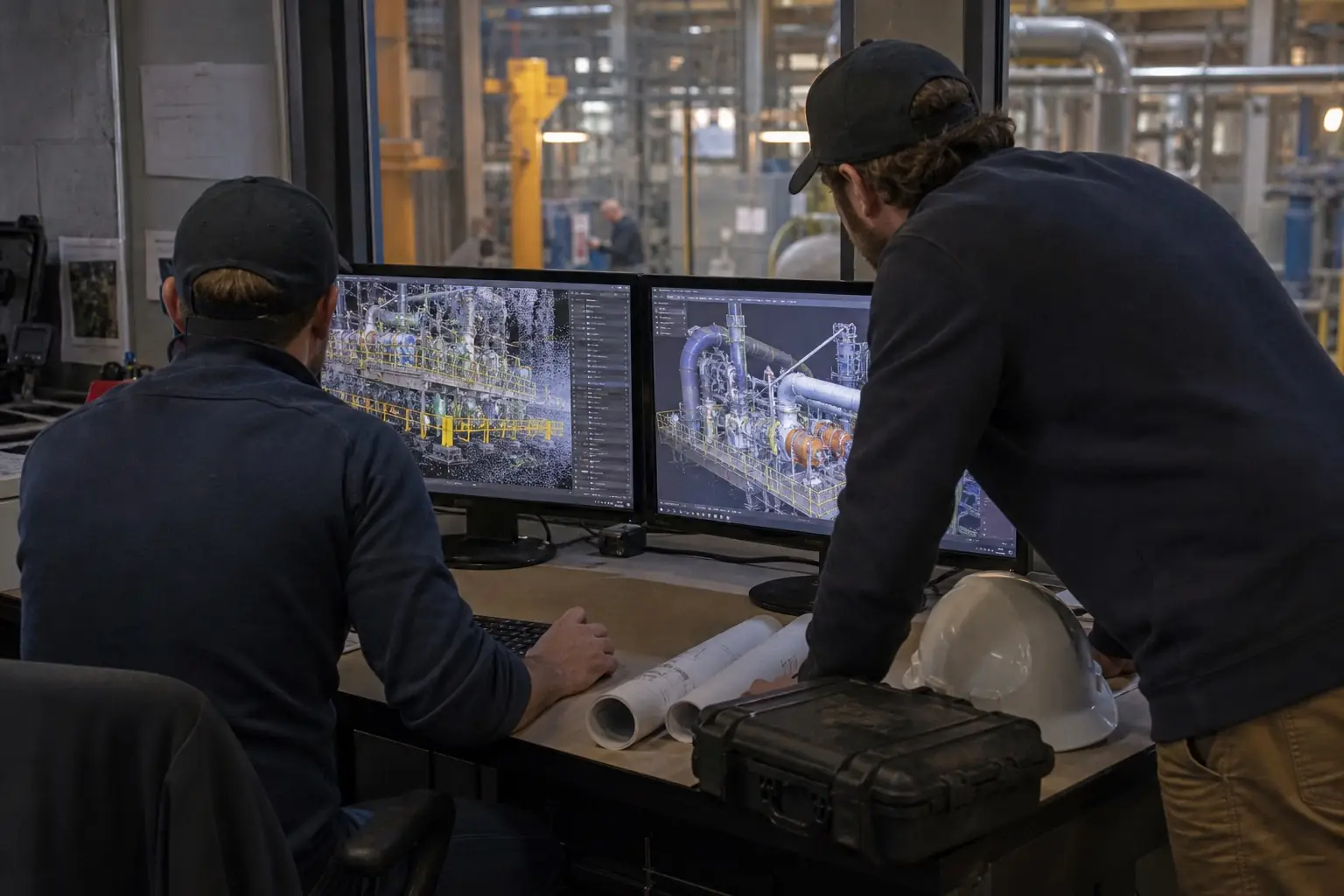
PROJECT-SPECIFIC AVAILABILITY
Equipment, software and support matched to the destination
Professional geospatial manufacturers commonly work through regional distribution and service networks. Product availability, warranty coverage, correction services, radio configuration and authorised support can therefore differ between countries.
TS2 Space reviews the destination, end user, intended application and local support path before confirming a manufacturer or configuration. We do not assume that equipment authorised for one market can be supplied to another.
- No unverified claims of manufacturer authorisation
- No promise of cross-border supply before channel confirmation
- No fixed specification before the required accuracy and deliverable are understood
- Regulatory and end-use review where the equipment or destination requires it
HOW WE APPROACH A PROJECT
A disciplined route to the right geospatial system
Define
Location, site type, required accuracy, capture volume, deliverables, interfaces and deployment timeline.
Design
Positioning, sensors, field computing, software, connectivity, power and supporting accessories.
Confirm
Territorial availability, authorised delivery route, warranty, training and any end-use requirements.
Deploy
Commission the workflow, onboard users and establish a practical route for support and expansion.
PLAN A GEOSPATIAL PROJECT
Tell us what must be measured, mapped or monitored
Share the destination country, end user, site type, required accuracy, expected deliverable and timeline. TS2 Space will review the workflow and confirm an appropriate supply and support path.
Service availability, performance and permitted use depend on location, network capacity, local regulation, selected equipment and service plan. Specifications and commercial terms are confirmed individually.


