
3D SCANNING & DIGITAL TWINS
Capture the site as it exists now
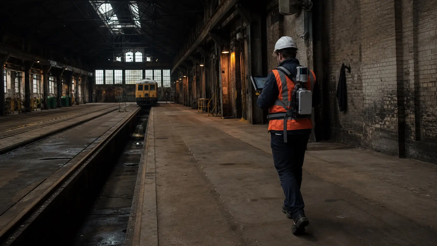
Mobile reality capture creates a current spatial record of buildings, industrial plants and infrastructure—supporting better design, retrofit, documentation and operational decisions.
REALITY BEFORE ASSUMPTION
A reliable starting point for work on existing assets
Drawings become outdated, sites change and complex installations are difficult to document manually. Mobile LiDAR and imaging systems can record geometry and visual context while an operator moves through the environment.
Scan to BIM
Industrial retrofit
Facility management
Progress records
Digital-twin environments
CAPTURE, PROCESS, DELIVER
The scanner is one part of the workflow
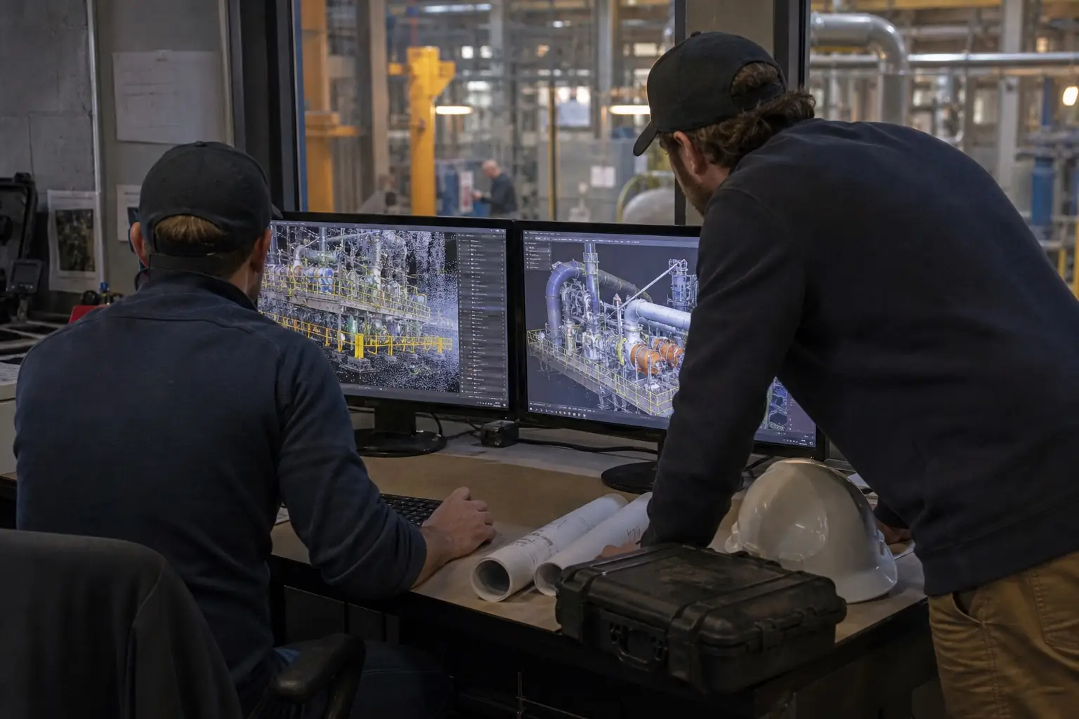
The value comes from planning the capture route, controlling quality, processing and registering the data, and delivering information in a form the project team can actually use.
- Site and deliverable definition before fieldwork
- Mobile, handheld, wearable or hybrid capture strategy
- Quality control, registration and coordinate alignment
- Point clouds, drawings, BIM-ready data or web visualisation
- Data handover, collaboration and repeat-capture planning
CURRENT PLATFORM EXAMPLES
Different systems for different environments
The examples below illustrate distinct operating models. Final selection depends on the site, scale, required accuracy, coordinate control, imagery, deliverables and software environment.
Leica BLK2GO PULSE
A compact first-person handheld scanner designed for intuitive indoor capture. Colourised point clouds can be viewed on a connected smartphone during the scan, supporting immediate field review and streamlined sharing.
FARO Orbis Premium
A rugged mobile scanning platform for surveying, mapping, engineering and construction. It combines rapid mobile capture with the ability to add higher-detail stationary Flash scans where the workflow requires them.
NavVis VLX 3
A wearable dynamic scanning system for large and complex indoor or outdoor sites. Dual multi-layer LiDAR sensors, panoramic imaging, live feedback and control-point support suit professional mapping workflows.
WHERE REALITY CAPTURE HELPS
Designed around a project outcome
Buildings & renovation
Record existing geometry before design, refurbishment, fit-out or adaptive reuse, including complex interiors that are difficult to measure conventionally.
Industrial plants
Document structures, equipment and service routes for retrofit planning, layout coordination, maintenance access and current asset records.
Transport & infrastructure
Capture stations, depots, tunnels, technical buildings and other spatially complex assets while planning access and operational constraints.
Portfolio documentation
Create consistent, accessible records across multiple sites for remote review, due diligence, facilities teams and repeat inspection programmes.
SELECTION CRITERIA
What determines the right capture architecture
There is no universally best scanner. A successful project begins with the environment and the required output.
Environment
Indoor or outdoor use, scale, lighting, access, stairs, repetitive geometry, dust and operating restrictions.
Data quality
Required detail, coordinate control, accuracy expectations, imagery and quality-assurance method.
Deliverable
Point cloud, 2D drawings, BIM model, measurements, visual record, web access or integration with other data.
Operations
Training, capture frequency, data volume, connectivity, processing time, software ownership and support.
DISCUSS A REALITY-CAPTURE PROJECT
Tell us what must be captured—and what the data must deliver
Share the site type, location, approximate scale, required output and project timeline. TS2 Space will help define an appropriate capture and delivery workflow.
Service availability, performance and permitted use depend on location, network capacity, local regulation, selected equipment and service plan. Specifications and commercial terms are confirmed individually.


