
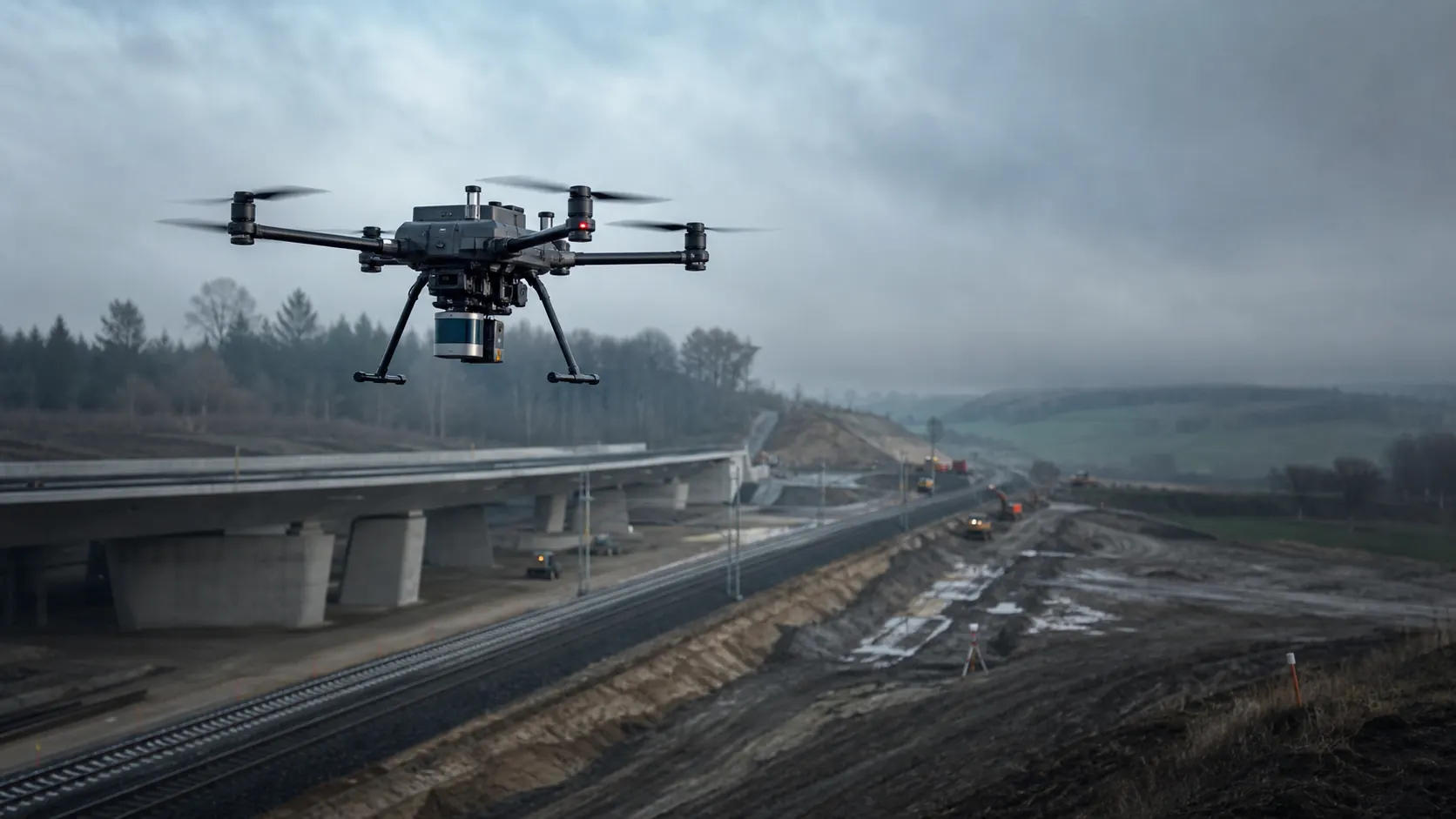
AERIAL LIDAR MAPPING
Map complex terrain and infrastructure from above
Enterprise airborne LiDAR combines rapid field capture with survey-grade positioning, imagery and disciplined processing—creating current spatial data for engineering, reconstruction and asset management.
FROM AIRCRAFT TO DELIVERABLE
A complete data-acquisition system, not a payload in isolation
Useful results depend on the aircraft, LiDAR and camera payload, GNSS strategy, control network, mission plan, processing software and quality checks working as one architecture. TS2 Space helps define that architecture around the site and the decisions the data must support.
Corridor mapping
Powerline surveys
Construction progress
Forestry analysis
Reconstruction planning
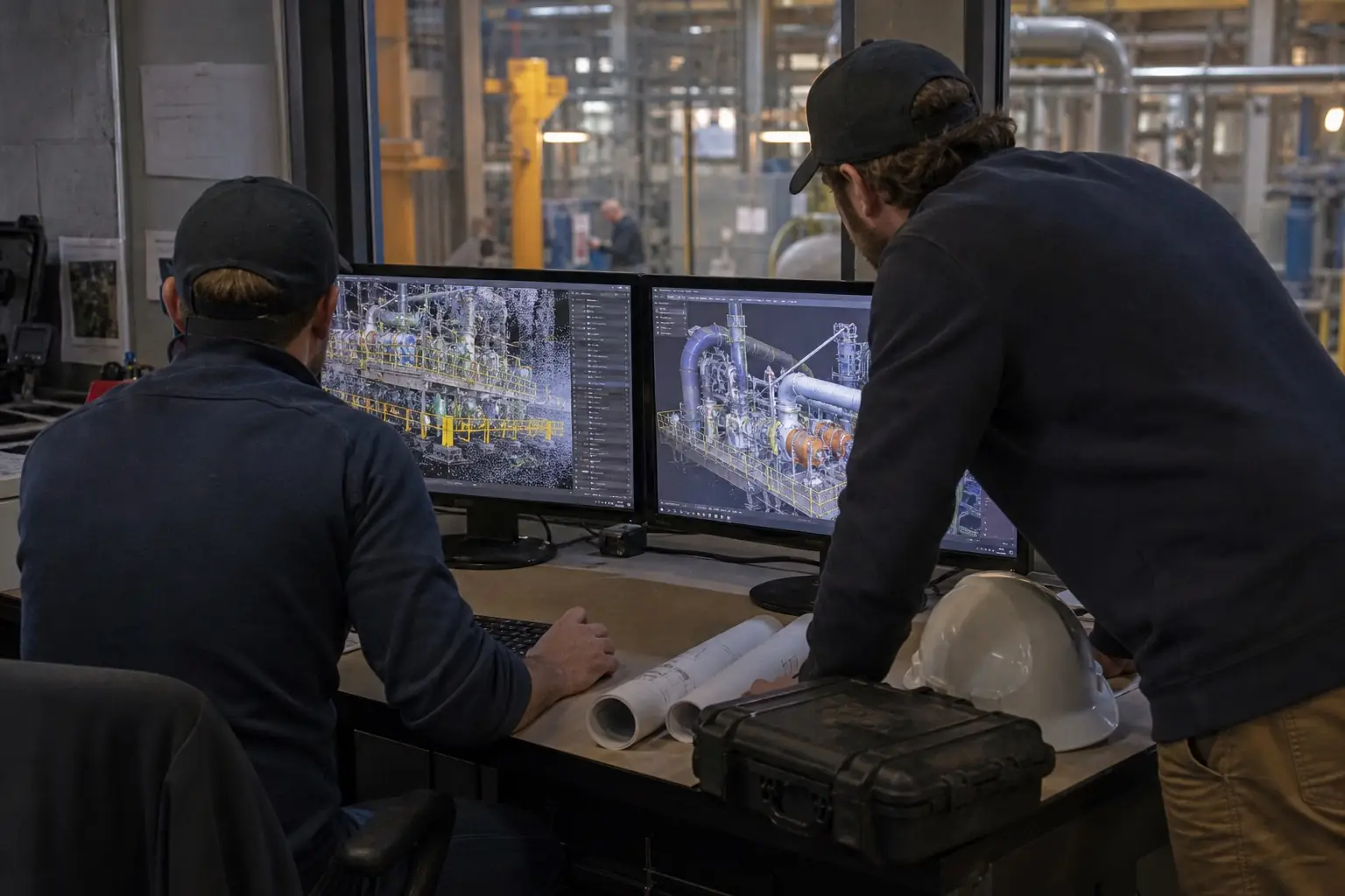
CAPTURE, CONTROL, PROCESS
Plan backwards from the required output
Flight altitude, speed, overlap, scan pattern, point density and control strategy should be selected from the deliverable—not copied from a generic mission template.
- Define the area, coordinate system, accuracy target and required outputs
- Plan flight geometry, ground control and RTK or PPK positioning
- Acquire LiDAR, RGB imagery, navigation and calibration data
- Process, register, classify and verify the point cloud
- Deliver terrain models, orthomosaics, vectors, CAD/BIM inputs or web access
CURRENT PLATFORM EXAMPLE
DJI Matrice 400 with Zenmuse L3
A current enterprise configuration for demanding aerial mapping combines a heavy-lift aircraft with a dedicated long-range LiDAR and dual RGB mapping cameras. Final performance remains dependent on the mission, surface, atmosphere, positioning and processing method.
Enterprise aircraft
Matrice 400 provides a multi-payload platform with integrated obstacle-sensing technologies and a dedicated connector for Zenmuse L3. Aircraft, batteries, communications and payload capacity must be configured for the operating environment.
LiDAR and imagery
Zenmuse L3 combines long-range laser scanning with dual 100 MP RGB mapping cameras. Multiple scan modes and return options support different terrain, vegetation and infrastructure tasks.
Positioning and processing
RTK or PPK workflows, base-station data, control points and documented quality checks turn raw capture into defensible project data. DJI Terra can export standard point-cloud formats for downstream use.
PROJECT APPLICATIONS
Spatial evidence for planning, construction and operations
Transport corridors
Map roads, railways, bridges, embankments and surrounding terrain for preliminary design, construction coordination, clearance analysis and condition records.
Energy and utilities
Capture powerline corridors, substations, renewable-energy sites and access routes while designing the survey around vegetation, conductors and safety constraints.
Terrain and natural assets
Create elevation products for drainage, earthworks, forestry, stockpile assessment and environmental monitoring, including areas where imagery alone cannot describe the surface.
Recovery and reconstruction
Establish a current baseline for damaged or rapidly changing sites, support design teams remotely and document progress against an agreed spatial reference.
DELIVERY MODEL
Four decisions before selecting a configuration
Outcome
Define the engineering, survey or asset-management decision and the required data products.
Environment
Review terrain, obstacles, access, weather, airspace, communications and ground-risk conditions.
Quality
Set coordinate control, point density, imagery, accuracy expectations and independent checks.
Operations
Plan trained personnel, flight permissions, data handling, processing capacity and ongoing support.
DISCUSS AN AERIAL MAPPING PROJECT
Tell us what must be mapped—and what the data must prove
Share the country, site type, approximate area or corridor length, required deliverables, coordinate system and expected timeline. TS2 Space will help define an appropriate capture and processing architecture.
Equipment availability, configuration, permitted use and delivery depend on destination, end use, local regulation and the agreed project scope. Technical performance and commercial terms are confirmed individually.


