
GEOSPATIAL MONITORING & DEFORMATION
Movement data designed for timely decisions
TS2 Space helps infrastructure and engineering teams plan connected monitoring systems that combine reliable sensors, communications, analysis and a clear response workflow.
MEASURE, VERIFY, ESCALATE
A monitoring system is more than an instrument and an alarm
Reference stability, observation geometry, atmospheric effects, power, connectivity, redundancy, thresholds and human review must be engineered around the asset and risk model.
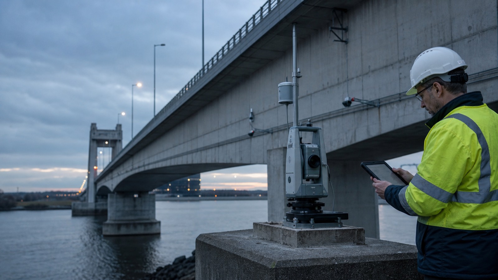
Automated total stations
Repeatable prism observations for structures, excavations, tunnels, rail corridors and slopes, with schedules matched to the expected rate of movement.
Continuous GNSS
High-rate or long-term positioning for distributed points and large structures where sky visibility, reference design and communication resilience are appropriate.
Complementary sensors
Tilt, crack, vibration, load, temperature, weather and water-level observations can add context and help separate structural response from environmental effects.
Software and alerting
Collection, adjustment, dashboards, reporting and controlled notifications with roles, audit history and escalation procedures defined before commissioning.
SYSTEM SELECTION
Open to the sensors the project actually needs
Depending on destination and authorised supply, candidate components may include monitoring total stations, Trimble R750 MON GNSS with Trimble 4D Control, Leica TM60 and GeoMoS workflows, plus compatible environmental and geotechnical sensors. Final selection follows the monitoring design.
- Stable reference network and defensible baseline observations
- Power budget, enclosure, lightning and environmental protection
- Primary and backup communication paths where risk requires them
- Data validation before alerts reach operational stakeholders
- Maintenance access, calibration and long-term service planning
APPLICATIONS
Continuous context for critical works and assets
Structures
Bridges, dams, towers and buildings subject to load, settlement or environmental movement.
Construction
Excavation, underpinning, tunnelling and adjacent assets during high-impact works.
Transport
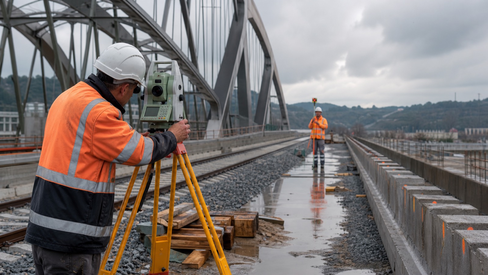
Rail, roads and tunnels where access windows are limited and repeatability matters.
Ground movement
Slopes, embankments, mines and engineered earthworks with project-specific sensor geometry.
MONITORING GOVERNANCE
Data supports the response plan—it does not replace engineering judgement
Thresholds, alarms and dashboards must sit within a documented process owned by qualified project stakeholders. A monitoring platform is not a substitute for structural assessment, site safety systems or emergency procedures.
Design
Define failure modes, expected behaviour, references, sensors and observation rates.
Baseline
Install, stabilise and validate the system before operational thresholds begin.
Escalation
Assign recipients, validation steps, responsibilities and communication channels.
Maintain
Inspect hardware, review trends, test alerts and adapt the system as works change.
PLAN A MONITORING SYSTEM
Tell us what can move and who must know
Share the destination country, asset, expected movement, project stage, observation frequency, stakeholders and timeline. TS2 Space will help define a practical sensor, connectivity and support architecture.
Service availability, performance and permitted use depend on location, network capacity, local regulation, selected equipment and service plan. Specifications and commercial terms are confirmed individually.


