GNSS SURVEYING & RTK
Reliable positioning from control point to deliverable
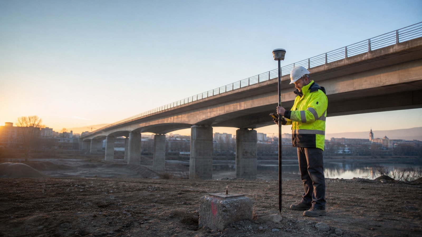
TS2 Space helps survey, construction and infrastructure teams define complete GNSS workflows—receiver, corrections, field software, coordinate systems, connectivity and support.
POSITIONING AS A WORKFLOW
The right result depends on more than the receiver
Required accuracy, satellite visibility, multipath, canopy, radio conditions, mobile coverage, coordinate reference system and handover format all affect the configuration.
Network RTK rovers
Productive single-rover workflows using an available national, commercial or project correction network. We review modem coverage, credentials, mount points and field software before deployment.
Base and rover systems
Dedicated base stations, UHF or internet correction links and site-specific control for projects that need independence from public network coverage.
PPP and satellite corrections
Correction services delivered by satellite or internet can support remote work where terrestrial RTK infrastructure is unavailable, subject to convergence and application requirements.
Field-to-office integration
Controllers, code libraries, CAD/GIS exchange, cloud collaboration and documented checks turn field observations into traceable project data.
CURRENT PROFESSIONAL PLATFORMS
A configuration matched to site conditions and support
Depending on territory and authorised supply route, a current shortlist may include professional platforms such as Trimble R980, R12i, R780 or R580 and Leica GS18-family solutions. The correct choice is determined by the work—not by a model hierarchy alone.
- Tilt compensation and visual measurement where the workflow benefits
- Internal radio, cellular and external communication options
- Rugged field controller, pole, antenna and power configuration
- Correction-service compatibility and ongoing subscription planning
- Local warranty, calibration, training and service availability
APPLICATIONS
Built for repeatable field decisions
Land & utilities
Topographic and cadastral survey, asset capture, utility mapping and GIS-ready records.
Construction
Site control, machine guidance support, stakeout, progress measurement and as-built verification.
Infrastructure
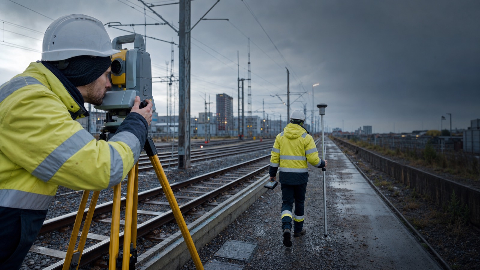
Road, rail, airport, energy and water projects with distributed teams and demanding data exchange.
Remote operations
Survey work beyond reliable terrestrial networks, with resilient correction and communication planning.
DEPLOYMENT PROCESS
A controlled route to dependable coordinates
Define
Country, site, accuracy, environment, coordinate system, outputs and timeline.
Design
Receiver, corrections, controller, accessories, data flow and quality checks.
Confirm
Regional channel, frequencies, subscriptions, warranty and local support path.
Commission
Configure, test against control, document the workflow and onboard users.
PLAN A GNSS WORKFLOW
Tell us where and how you need to position
Share the destination country, site conditions, required accuracy, correction access, deliverables and timeline. TS2 Space will review the workflow and confirm an appropriate supply and support route.
Service availability, performance and permitted use depend on location, network capacity, local regulation, selected equipment and service plan. Specifications and commercial terms are confirmed individually.


