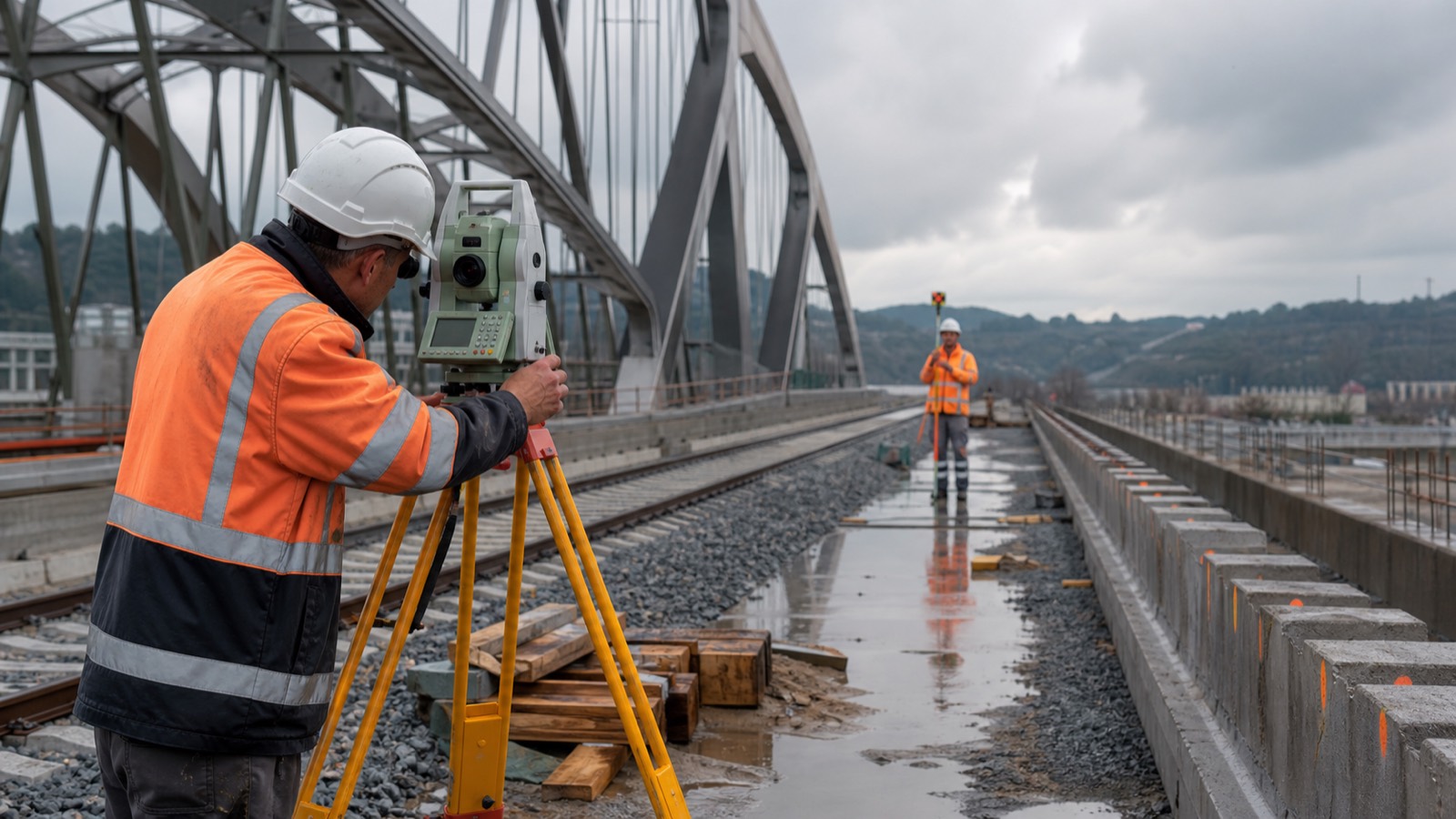
TOTAL STATIONS & CONSTRUCTION LAYOUT
Optical measurement aligned with the build
TS2 Space helps teams select and deploy total-station workflows for control, layout, verification and as-built capture—connected from design files to field records.
FROM DESIGN TO POSITION
Choose the instrument around the task and tolerances
Automation, angular accuracy, distance range, reflectorless measurement, target tracking, imaging and scanning all matter—but only in the context of the project workflow.
Robotic total stations
One-person measurement and layout with automated target search, lock and tracking for productive construction and engineering survey.
High-accuracy engineering
Control networks, alignment, industrial metrology and demanding structures where instrument class, procedure and environmental correction must be considered together.
Scanning total stations
Combined discrete-point measurement and point-cloud capture for complex geometry, rapid as-builts and layout verification without changing the field reference.
Conventional systems
Practical two-person workflows for organisations that prioritise familiar procedures, controlled budgets and straightforward field operation.
CURRENT PROFESSIONAL PLATFORMS
A shortlist based on capability and local service
Subject to territory and authorised availability, current families considered for professional projects may include Trimble SX12, S9, S7 and S5; Leica TS20, TS60 and MS60; or Topcon GT and GTL platforms. We confirm the exact model only after reviewing the application and support route.
- Control, cadastral, construction and industrial accuracy requirements
- Robotic tracking, prism, reflectorless and imaging workflows
- Field controller, CAD/BIM exchange and office processing
- Tripods, tribrachs, prisms, poles, power and transport protection
- Training, calibration, warranty and regional service access
APPLICATIONS
Precise geometry across the asset lifecycle
Buildings
Grid transfer, anchor bolts, façades, MEP positioning, verticality and coordinated as-built checks.
Transport
Rail alignment, roads, bridges, tunnels and repeatable control on linear infrastructure.
Industry
Plant installation, machine foundations, dimensional verification and retrofit documentation.
Survey
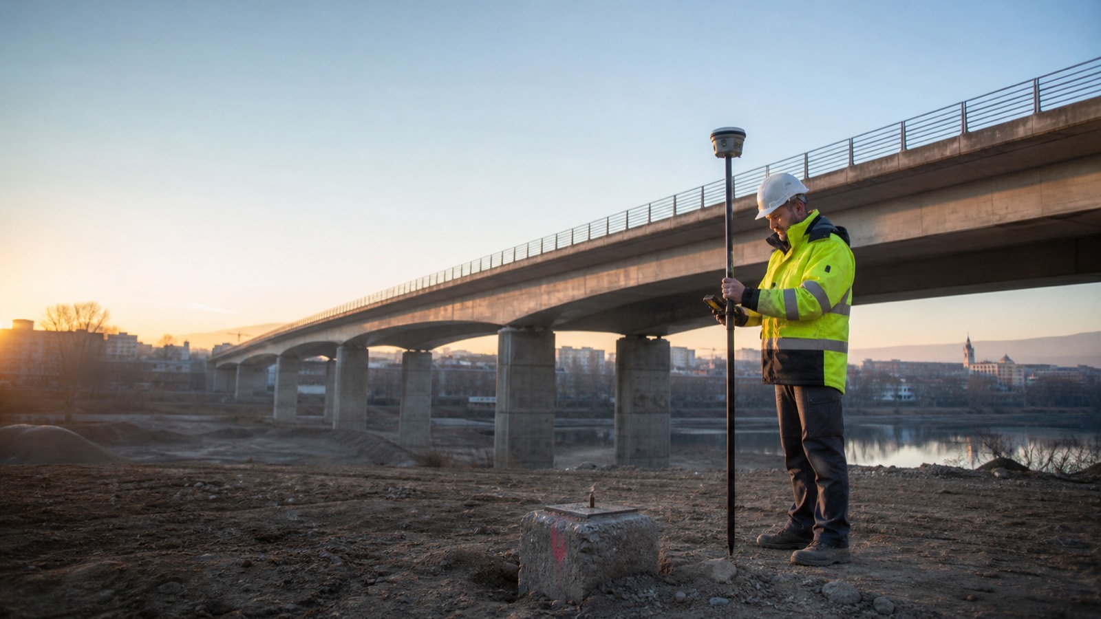
Control networks, detail pickup, boundaries and integrated GNSS-optical field procedures.
DELIVERY MODEL
Instrument, data and procedure designed together
Scope
Define tolerances, ranges, targets, outputs, crew model and field conditions.
Configure
Match instrument, controller, accessories, software and data exchange.
Validate
Confirm territory, service route, calibration and the complete field kit.
Deploy
Commission against control and establish documented checks and support.
PLAN AN OPTICAL SURVEY WORKFLOW
Tell us what must be controlled, set out or verified
Share the destination country, project type, required tolerances, ranges, crew model, deliverables and timeline. TS2 Space will review the application and confirm an appropriate supply and support route.
Service availability, performance and permitted use depend on location, network capacity, local regulation, selected equipment and service plan. Specifications and commercial terms are confirmed individually.


